Understanding Trail Maps: Essential Guides for Outdoor Enthusiasts
What is a Trail Map?
Definition and Importance
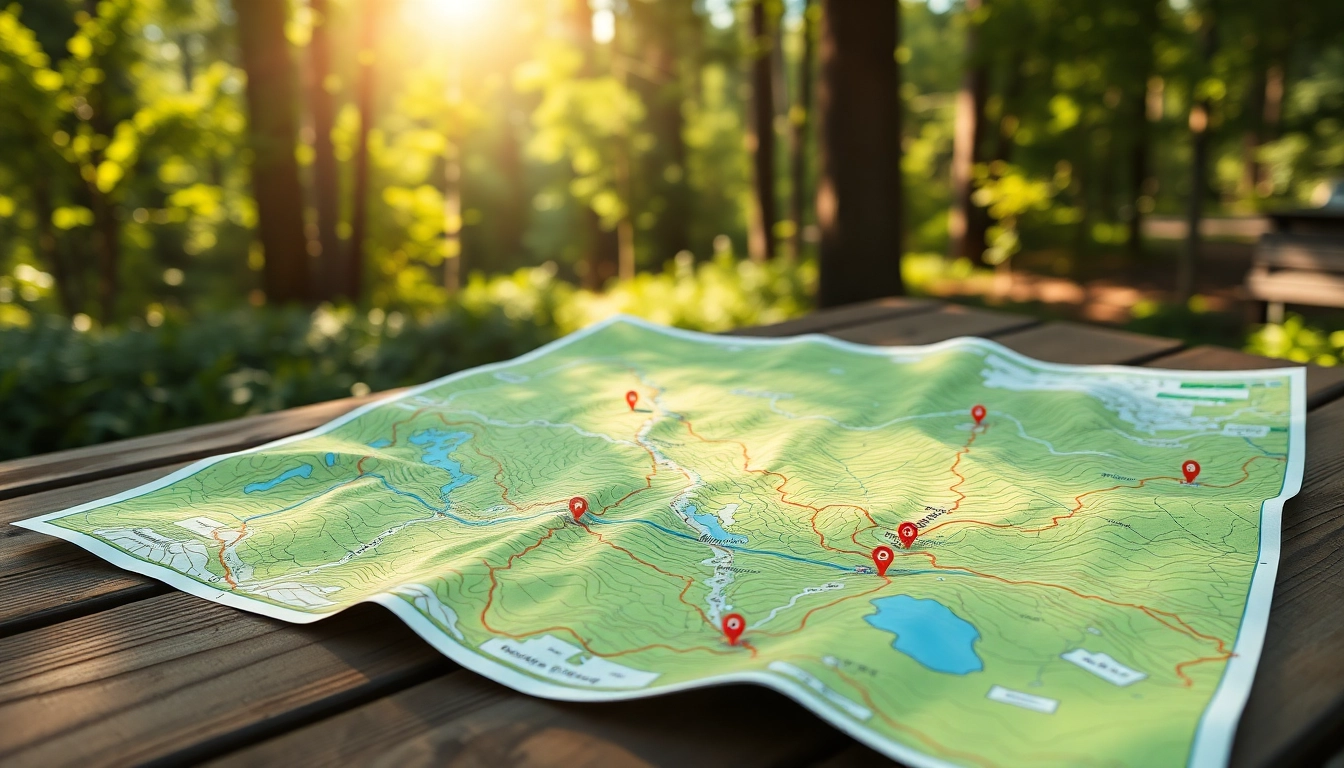
A trail map is a visual representation used to navigate a designated path, whether for hiking, biking, running, or other outdoor activities. It offers essential information about the trails, including their locations, distances, elevation profiles, and surrounding landmarks, which can greatly enhance the outdoor experience. Trail maps are crucial for both experienced outdoor enthusiasts and casual adventurers, ensuring safety and helping users avoid getting lost in unfamiliar terrain. Their importance has increased with the rise in outdoor activities, as they provide a sense of direction and confidence while exploring nature.
Types of Trail Maps
Trail maps come in various formats, each tailored to specific user needs and environments. Here are some common types:
- Physical Maps: Traditional paper maps that can be folded and taken on outdoor treks. They are often waterproof and durable, making them convenient for various weather conditions.
- Digital Maps: Accessible via smartphones and other devices, these maps can provide real-time updates on terrain conditions and users’ locations through GPS technology.
- Interactive Maps: Often available on websites, these maps allow users to zoom in, mark locations, and access detailed information about trails, including reviews and photos.
- Topographic Maps: These detailed maps show elevation changes through contours, providing information vital for understanding the difficulty and accessibility of trails.
Key Features of a Trail Map
Understanding the features of a trail map can significantly enhance your navigation skills and overall hiking experience. Key features include:
- Trail Names: Clear identification of trails helps users navigate and choose paths based on preference and skill level.
- Elevation Changes: Indicated by contour lines, these details are crucial for assessing the difficulty of the hike.
- Distance Markers: Essential for planning trips, these markers help users estimate the time needed to complete a trail.
- Points of Interest: Locations of scenic viewpoints, water sources, campsites, and other amenities are crucial for enhancing your hiking experience.
- Legend: This section decodes the symbols used on the map, clarifying what each symbol indicates, from trail types to hazards.
How to Read a Trail Map
Understanding Symbols and Legends
Every trail map will have a legend that explains the symbols used throughout. Common symbols may represent different types of trails (e.g., hiking, biking, or equestrian), difficulty levels, and points of interest such as campsites and restroom facilities. Familiarizing yourself with these symbols is the first step in effectively using a trail map.
Interpreting Topographic Lines
Topographic lines illustrate elevation changes on a trail map. Each line represents a specific elevation, and the spacing between these lines indicates the steepness of the terrain. When lines are close together, the ground is steep, whereas wider spacing indicates a more gradual incline. Understanding this will allow hikers to prepare for the physical demands of the trail.
Using Scale and Distance
Scale refers to the ratio between the distance on the map and the actual distance on the ground. Most trail maps will have a scale bar that provides a visual guide to distances, helping users calculate how far they will need to travel. This information is critical for time management and safe navigation.
Finding the Best Trail Map for Your Needs
Online Resources
The internet offers a wealth of resources for finding the right trail maps. Websites dedicated to outdoor activities often provide downloadable maps, trail reviews, and user-generated content that can give insights into the trail conditions and tips from previous hikers. Search engines focused on outdoor activities may feature interactive maps that allow you to filter trails based on your preferences.
Mobile Apps
Mobile applications have revolutionized trail navigation, providing instant access to maps and GPS features. Many apps allow offline access, enabling users to download trail maps before heading out, ensuring they remain navigable without cell service. These applications can enhance safety with real-time location tracking, helping to identify and manage risks during outdoor activities.
Local Trail Guides
Local resources, such as visitor centers, outdoor shops, and community organizations, often produce high-quality trail maps specific to the region. Consulting these guides can provide unique insights into local trails, including current conditions, seasonal changes, and safety notices, which may not be covered in more generic online resources.
Tips for Using Trail Maps Effectively
Planning Your Route
Before embarking on any outdoor adventure, planning your route is essential. Use your trail map to identify the trails you intend to take, including alternative routes in case of unexpected closures or challenges. Consider the time of day and how long it takes to complete various trails, factoring in breaks and any additional activities you’d like to enjoy along the way.
Staying Safe While Navigating
Safety is paramount when navigating through trails. Always inform someone of your itinerary before you head out. Carry essentials like water, snacks, a first aid kit, and a fully charged cell phone. Make use of your trail map to stay oriented, and don’t hesitate to turn back if a trail becomes too challenging or conditions worsen.
Combining Digital and Physical Maps
Using both digital and physical maps can greatly enhance navigating unfamiliar trails. While digital maps offer the flexibility of real-time updates and GPS tracking, physical maps can serve as a reliable backup in areas without cell service. Familiarize yourself with both formats to create a comprehensive navigation strategy.
Common Challenges and How to Overcome Them
Dealing with Mixed Trails
Many areas offer mixed-use trails that accommodate different outdoor activities. Understanding the rules of each trail and being aware of other users—such as cyclists, runners, and horseback riders—can prevent conflicts. Always yield to the more vulnerable user, typically hikers in cases of mixed-use paths.
Adapting to Weather Conditions
Weather can significantly impact trails and hiking conditions. Always check the weather forecast before heading out, and be prepared to adjust your plans accordingly. Ensure you have the appropriate gear for the weather conditions, whether it’s rain gear or extra layers for cold weather. Additionally, understanding how weather can affect trails—like muddy conditions after rainfall—is critical for ensuring safety.
Understanding Trail Markers and Signage
Good signage is essential for trail navigation. Familiarize yourself with common trail markers—such as painted blazes on trees or posts—that indicate which direction to take. If you encounter a sign that is unclear or confusing, refer to your trail map to clarify your position and determine the appropriate path.


Post Comment